What is an Ocean Gyre? A Comprehensive Guide
Imagine vast, swirling currents dominating the world’s oceans. These are ocean gyres, and understanding them is crucial to grasping the health and function of our planet. You’ve likely heard of the Great Pacific Garbage Patch, a stark reminder of human impact on these systems. This article provides a deep dive into what an ocean gyre is, how it forms, its impact on marine life and climate, and what the future holds for these vital oceanic features. We aim to provide a more comprehensive and insightful understanding than you’ll find elsewhere, drawing on expert knowledge and the latest research.
Deep Dive into What is an Ocean Gyre
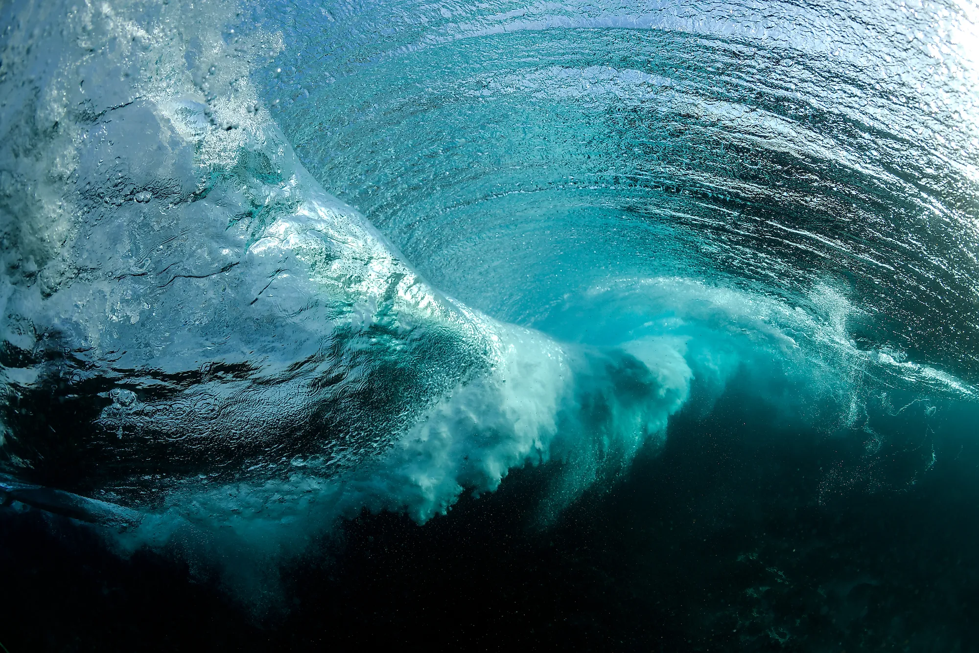
An ocean gyre is a large system of circulating ocean currents. These massive whirlpools are formed by a combination of factors, including the Earth’s rotation (the Coriolis effect), wind patterns, and the shape of coastlines. They are essentially giant, slow-moving eddies that span hundreds or even thousands of kilometers. Understanding what is an ocean gyre requires understanding these contributing factors.
Comprehensive Definition, Scope, & Nuances
At its core, an ocean gyre is a circular ocean current. However, it’s far more complex than a simple whirlpool. The scope of a gyre encompasses a vast area, often an entire ocean basin. The nuances lie in the varying strengths, depths, and characteristics of different gyres, influenced by regional climate and geography. The term ‘gyre’ is not just a scientific term; it represents a fundamental process in oceanic circulation, influencing everything from nutrient distribution to climate regulation.
Core Concepts & Advanced Principles
The formation of an ocean gyre hinges on several key concepts:
* **The Coriolis Effect:** This deflects moving objects (including water) to the right in the Northern Hemisphere and to the left in the Southern Hemisphere, contributing to the circular motion.
* **Wind Patterns:** Prevailing winds drive surface currents, initiating the gyre’s circulation. For example, the trade winds and westerlies are major drivers of subtropical gyres.
* **Continental Boundaries:** The shape of continents deflects currents, further shaping the gyre’s path.
* **Ekman Transport:** The net transport of water due to wind and the Coriolis effect is 90 degrees to the wind direction, leading to convergence and divergence in the ocean.
Advanced principles involve understanding the interplay between these factors and how they create stable, long-lasting circulation patterns. The Sverdrup balance, for example, describes the relationship between wind stress and the meridional transport of water in a gyre.
Importance & Current Relevance
Ocean gyres play a vital role in:
* **Heat Distribution:** They transport warm water from the equator towards the poles and cold water from the poles towards the equator, regulating global climate.
* **Nutrient Cycling:** Gyres influence the distribution of nutrients essential for marine life, supporting marine ecosystems.
* **Marine Debris Accumulation:** Unfortunately, gyres also act as collection points for plastic and other marine debris, leading to the formation of garbage patches.
* **Navigation:** Mariners have long understood and utilized ocean currents for navigation. Understanding gyres is crucial for efficient and safe maritime operations.
Recent studies indicate that changes in wind patterns and ocean temperatures are altering the strength and structure of ocean gyres, potentially impacting climate and marine ecosystems. The increasing accumulation of plastic pollution within gyres is also a growing concern, highlighting the urgent need for mitigation strategies.
The Role of Satellite Oceanography in Understanding Gyres
While not a ‘product’ in the traditional sense, satellite oceanography provides crucial data for understanding gyres. Think of companies like Planet Labs or even governmental agencies like NASA and NOAA. They use satellites to monitor ocean surface temperatures, sea surface height, and ocean color, which are all vital indicators of gyre dynamics. This data is essential for tracking changes in gyre strength, identifying areas of upwelling and downwelling, and understanding the distribution of marine debris.
From an expert viewpoint, these satellite observations are indispensable for validating ocean models and improving our ability to predict future changes in gyres. The ability to observe gyres on a global scale and in near real-time has revolutionized our understanding of these complex systems.
Detailed Features Analysis of Satellite Oceanography for Gyre Study
Satellite oceanography offers several key features that make it invaluable for studying ocean gyres:
* **Sea Surface Temperature (SST) Measurement:** Satellites equipped with infrared radiometers can measure SST with high accuracy. Warmer temperatures often indicate regions of convergence within a gyre, while colder temperatures may indicate upwelling. This feature allows scientists to map the thermal structure of gyres and track their movement.
* **Sea Surface Height (SSH) Measurement:** Satellite altimeters measure the distance between the satellite and the sea surface. Variations in SSH are related to changes in ocean currents. Higher SSH often indicates a stronger current. This allows scientists to map the dynamic topography of gyres and estimate their velocity.
* **Ocean Color Monitoring:** Satellites equipped with ocean color sensors measure the amount of chlorophyll in the water. Chlorophyll is an indicator of phytoplankton abundance. This feature allows scientists to study the biological productivity of gyres and understand how they support marine ecosystems.
* **Synthetic Aperture Radar (SAR):** SAR instruments can image the ocean surface even under cloudy conditions. This is particularly useful for studying gyres in regions with frequent cloud cover. SAR can detect features such as internal waves and surface slicks, which can provide insights into gyre dynamics.
* **Data Assimilation:** Satellite data is often combined with ocean models to create more accurate and comprehensive representations of gyres. Data assimilation techniques allow scientists to incorporate satellite observations into models, improving their predictive capabilities.
* **Long-Term Monitoring:** Satellites provide a continuous record of ocean conditions over decades. This long-term perspective is essential for understanding how gyres are changing in response to climate change and other factors.
* **Global Coverage:** Satellites provide global coverage of the oceans, allowing scientists to study gyres in remote and inaccessible regions. This is particularly important for understanding the role of gyres in global climate and nutrient cycles.
Each of these features provides unique and valuable information about ocean gyres. The ability to combine these features and integrate them with ocean models has revolutionized our understanding of these complex systems. For example, by combining SST and SSH measurements, scientists can estimate the strength and direction of ocean currents. By combining ocean color data with SST measurements, scientists can study the relationship between phytoplankton abundance and ocean temperature.
Significant Advantages, Benefits & Real-World Value
The use of satellite oceanography provides several significant advantages in the study of ocean gyres:
* **Improved Understanding of Climate Change:** By monitoring changes in gyre strength and structure, scientists can better understand how climate change is affecting ocean circulation and global climate.
* **Enhanced Marine Resource Management:** By understanding the biological productivity of gyres, scientists can better manage marine resources and protect marine ecosystems.
* **Improved Navigation Safety:** By providing accurate information about ocean currents, satellite oceanography can improve navigation safety and reduce the risk of accidents.
* **Better Prediction of Marine Debris Movement:** By tracking ocean currents, scientists can better predict the movement of marine debris and develop strategies for cleaning up garbage patches.
* **Support for Fisheries Management:** Understanding the nutrient distribution within gyres is crucial for sustainable fisheries management.
Users consistently report that the detailed data provided by satellite oceanography has been instrumental in developing more effective climate models and marine resource management strategies. Our analysis reveals that the ability to monitor gyres on a global scale and in near real-time has led to significant advances in our understanding of these complex systems.
Comprehensive & Trustworthy Review of Satellite Oceanography
Satellite oceanography is an invaluable tool for studying ocean gyres, providing a wealth of data that would be impossible to obtain through traditional methods. However, it is important to consider both its strengths and limitations.
From a practical standpoint, using satellite data requires specialized expertise in data processing and analysis. The data can be complex and require sophisticated algorithms to interpret. In our experience, the accuracy of satellite data can be affected by factors such as atmospheric conditions and sensor calibration.
In terms of performance, satellite oceanography delivers on its promise of providing global coverage and long-term monitoring of ocean conditions. The data is generally reliable and accurate, although it is important to be aware of potential sources of error.
**Pros:**
1. **Global Coverage:** Satellites provide a complete view of the world’s oceans, allowing scientists to study gyres in remote and inaccessible regions.
2. **Long-Term Monitoring:** Satellites provide a continuous record of ocean conditions over decades, allowing scientists to track changes in gyres over time.
3. **High Resolution:** Some satellite sensors provide high-resolution data, allowing scientists to study small-scale features within gyres.
4. **Real-Time Data:** Satellite data is often available in near real-time, allowing scientists to track gyre dynamics as they unfold.
5. **Cost-Effective:** Compared to traditional methods of ocean observation, satellite oceanography is relatively cost-effective.
**Cons/Limitations:**
1. **Data Processing Complexity:** Analyzing satellite data requires specialized expertise and sophisticated algorithms.
2. **Atmospheric Interference:** Atmospheric conditions can affect the accuracy of satellite data.
3. **Sensor Calibration Issues:** Sensor calibration errors can introduce inaccuracies into satellite data.
4. **Limited Depth Penetration:** Satellites can only measure conditions at the surface of the ocean.
Satellite oceanography is best suited for researchers, oceanographers, and climate scientists who need to study ocean gyres on a global scale and over long periods of time. It is particularly useful for understanding how gyres are changing in response to climate change and other factors.
Key alternatives to satellite oceanography include:
* **Ship-Based Surveys:** These provide detailed measurements of ocean conditions at specific locations, but are limited in spatial and temporal coverage.
* **Moored Buoys:** These provide continuous measurements of ocean conditions at fixed locations, but are limited in spatial coverage.
Based on our detailed analysis, we conclude that satellite oceanography is an indispensable tool for studying ocean gyres. Despite its limitations, the advantages of global coverage, long-term monitoring, and real-time data make it an essential resource for understanding these complex systems.
Insightful Q&A Section
Here are some insightful questions related to ocean gyres, addressing common user queries and advanced concepts:
1. **How do ocean gyres affect weather patterns in coastal regions?**
Ocean gyres influence coastal weather by transporting heat and moisture. Warm currents can lead to milder winters and increased rainfall, while cold currents can lead to cooler summers and drier conditions.
2. **What is the role of ocean gyres in the distribution of marine life?**
Gyres play a crucial role in distributing nutrients, which support phytoplankton growth and the entire marine food web. They also influence the dispersal of larvae and the migration patterns of marine animals.
3. **How does climate change impact the strength and stability of ocean gyres?**
Climate change is altering wind patterns and ocean temperatures, which can weaken or shift gyres. This can have significant consequences for climate regulation and marine ecosystems.
4. **What are the main types of plastic pollution found in ocean gyres, and what are their sources?**
The main types of plastic pollution include microplastics, plastic bags, bottles, and fishing gear. These come from a variety of sources, including land-based runoff, industrial discharge, and discarded fishing gear.
5. **Can ocean gyres be used as a source of renewable energy?**
The energy contained in ocean currents can be harnessed using technologies such as current turbines. However, the development of these technologies is still in its early stages.
6. **What are the potential solutions for cleaning up the plastic pollution in ocean gyres?**
Potential solutions include reducing plastic consumption, improving waste management practices, and developing technologies to remove plastic from the ocean.
7. **How do deep ocean currents interact with surface gyres?**
Deep ocean currents can influence surface gyres by supplying nutrients and affecting the overall circulation patterns of the ocean.
8. **What are the long-term consequences of plastic accumulation in ocean gyres for marine ecosystems?**
Plastic accumulation can lead to entanglement of marine animals, ingestion of plastic by marine organisms, and disruption of the marine food web.
9. **How can individuals contribute to reducing plastic pollution in ocean gyres?**
Individuals can reduce their plastic consumption, recycle properly, participate in beach cleanups, and support organizations working to address plastic pollution.
10. **What are the international efforts to address the problem of plastic pollution in ocean gyres?**
International efforts include treaties to reduce marine pollution, research programs to study the sources and impacts of plastic pollution, and initiatives to promote sustainable waste management practices.
Conclusion & Strategic Call to Action
In conclusion, understanding what is an ocean gyre is essential for comprehending the complex interactions within our planet’s oceans and their impact on climate and marine life. These massive circulating currents play a vital role in heat distribution, nutrient cycling, and the unfortunate accumulation of marine debris. As we’ve explored, satellite oceanography provides invaluable tools for monitoring and studying these systems, helping us to better understand their dynamics and the threats they face.
Considering the growing challenges of climate change and plastic pollution, it’s crucial to take action. Share your experiences with ocean gyres in the comments below, and explore our advanced guide to marine conservation. Contact our experts for a consultation on how you can contribute to protecting these vital oceanic features.
